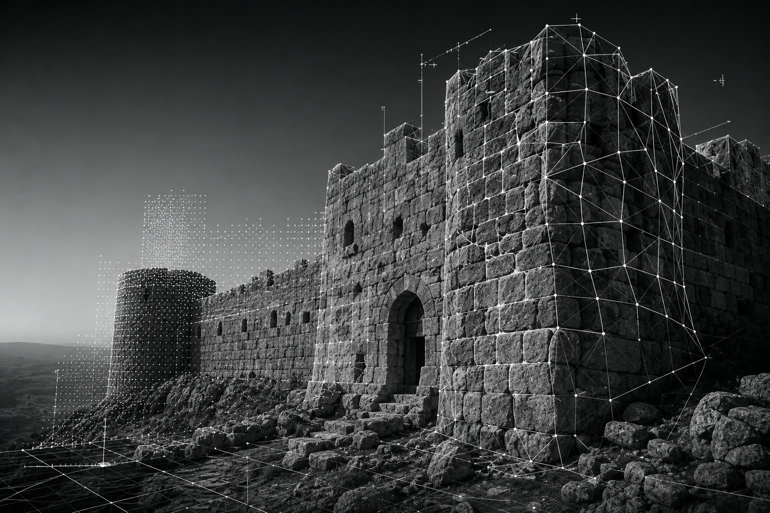
Geograph Co. utilizes advanced GNSS surveying, UAV surveying, and terrestrial laser scanning (Leica RTC360 & BLK360) to produce highly accurate heritage documentation, including orthophotos, point clouds, 3D models, CAD drawings, and BIM-ready datasets for conservation and restoration projects.
 SURVEY STUDIES CO.