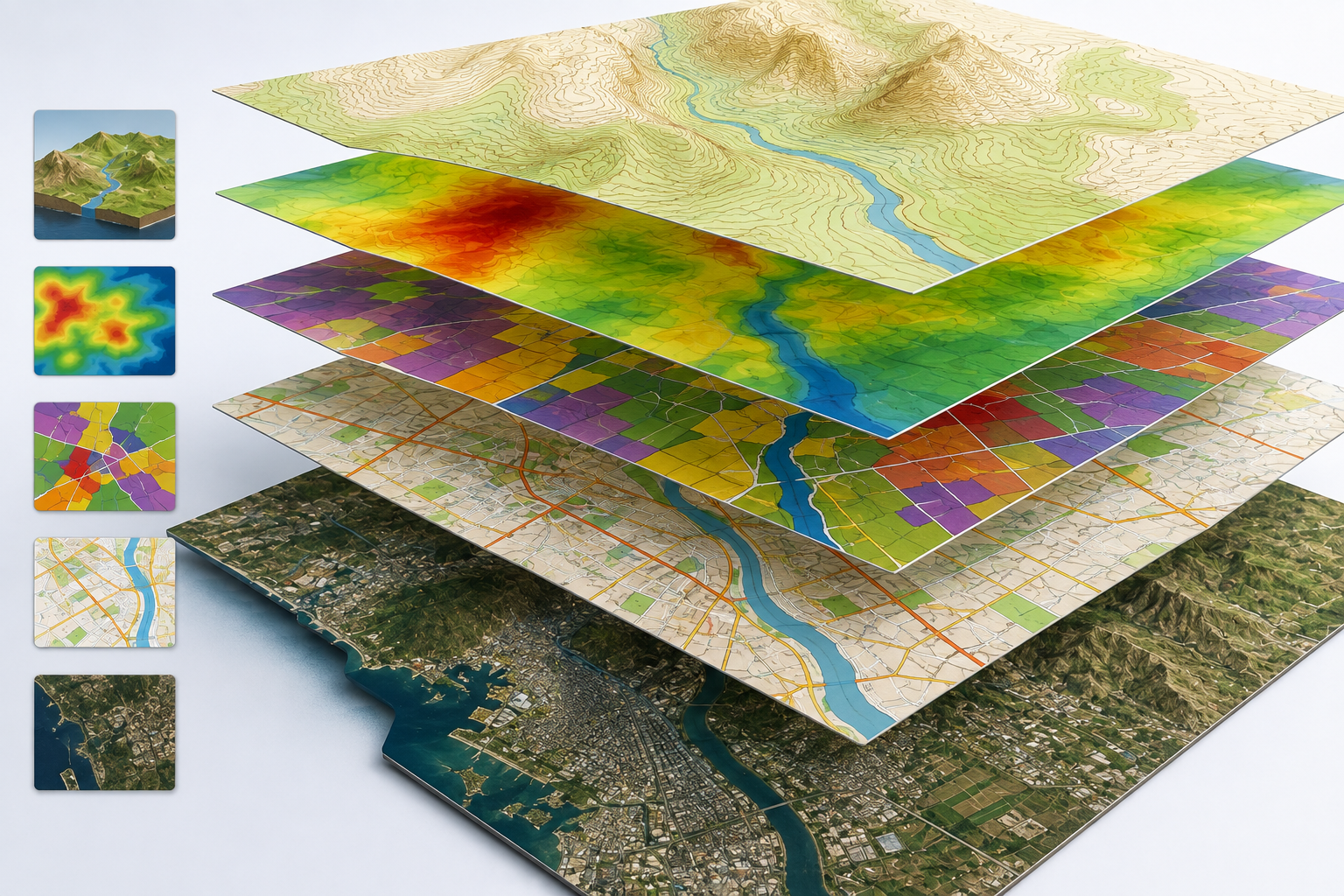
Geographic Information Systems (GIS) are computer-based platforms adept at managing diverse information pertaining to features with geographical references. These systems excel in handling both location and attribute data associated with such features. The robust capabilities of GIS largely derive from the sophisticated database management system tailored for storing and manipulating attribute data. Our survey work extends beyond AutoCAD format; we seamlessly apply them in GIS format, complete with a comprehensive database. This ensures that decision-makers have access to a wealth of information, enhancing the effectiveness and versatility of our surveying services.
 SURVEY STUDIES CO.