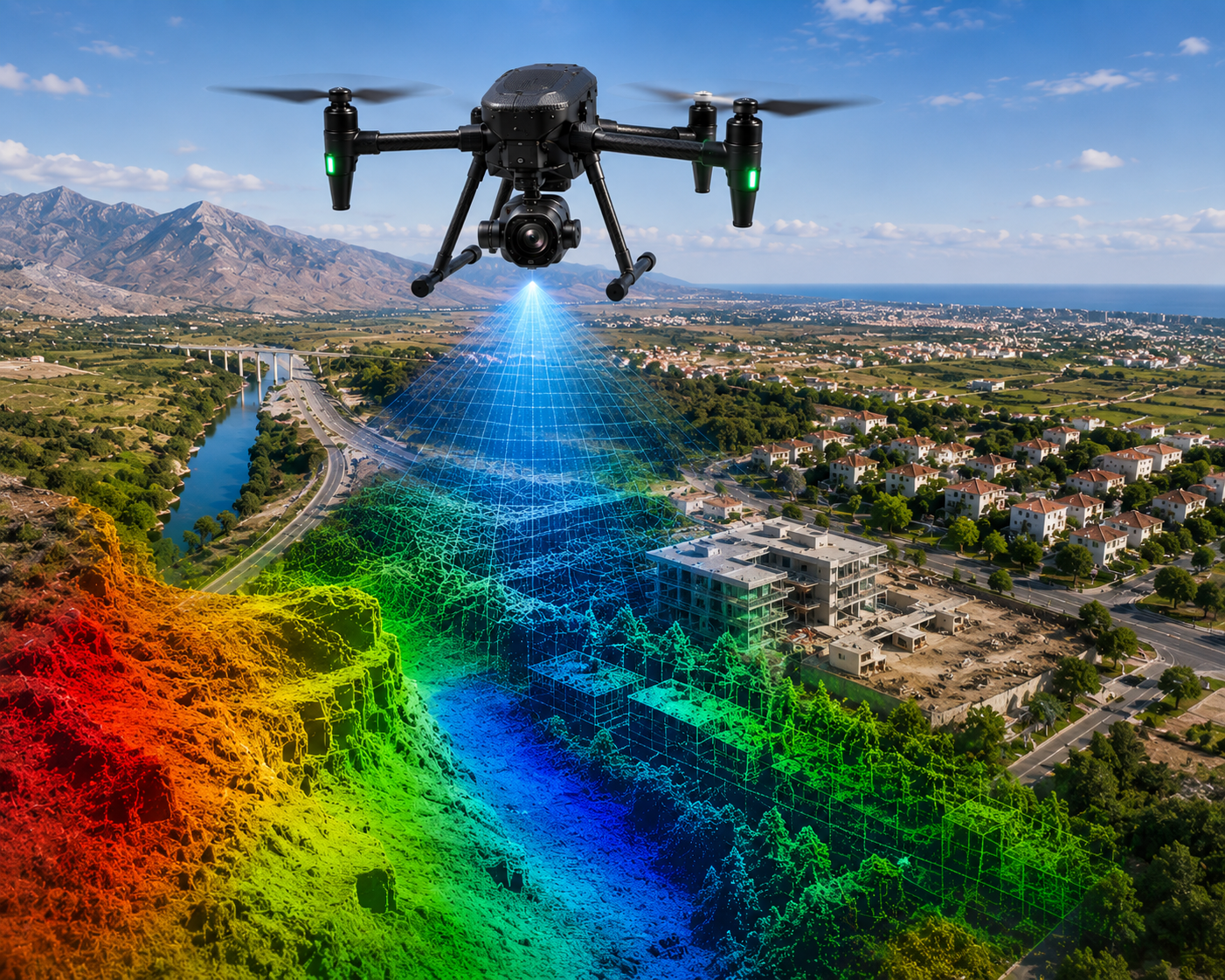
Aerial photogrammetry is a versatile and cost-effective method of remote sensing that offers a comprehensive bird's-eye view of extensive areas. Evolving from traditional film-based methods to advanced digital technologies, it provides crucial insights into the precise spatial layout of surface features. At Geograph, we leverage cutting-edge UAV photography to maximize these modern capabilities. This technique allows us to achieve a remarkable 1 cm resolution at a flying height of 100 meters, facilitating the creation of highly accurate Orthophoto Mosaics (OTM) with exceptionally precise results.
 SURVEY STUDIES CO.