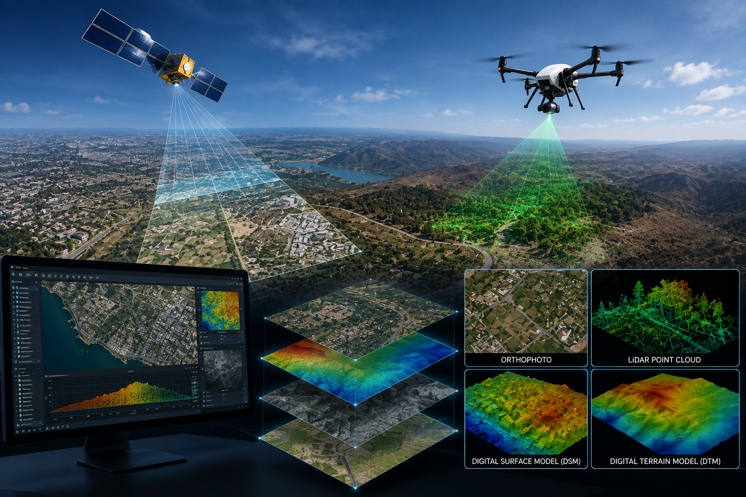
Remote sensing is the science and art of gathering data about objects or areas using non-contact technology. Geograph harnesses high-resolution satellite imagery such as Spot, QB, and WV2 to provide critical insights for city planning, object classification, environmental monitoring, and GIS-based digital mapping. Through this cutting-edge technology, Geograph delivers the valuable data necessary for informed decision-making across a wide range of professional applications.
 SURVEY STUDIES CO.