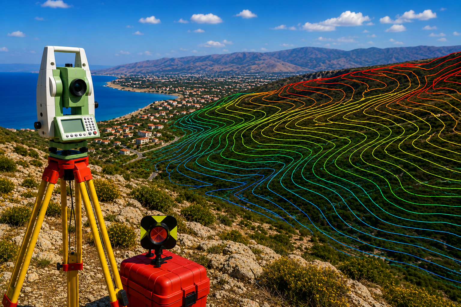
Our company delivers high-precision mapping of natural and man-made terrain features using advanced technology, including total stations and GPS. By providing accurate 3D data such as contours, infrastructure, and elevation changes, we equip urban planners, engineers, and environmental specialists with the essential blueprint needed for informed decision-making and seamless project integration.
 SURVEY STUDIES CO.